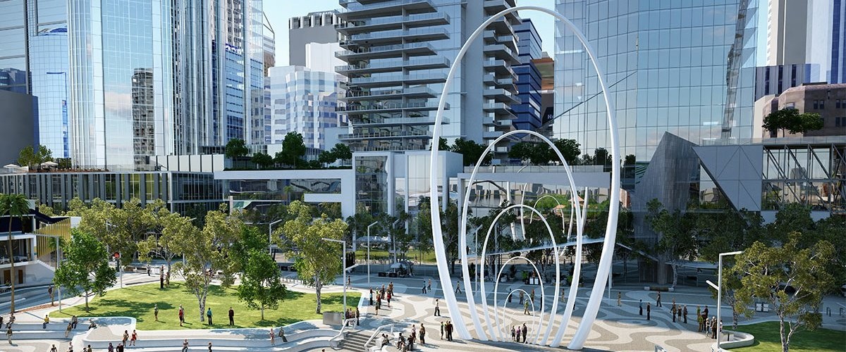
Spanda Sculpture - 3D Scan @media print { .ms-editor-squiggler { display:none !important; } } .ms-editor-squiggler { all: initial; display: block !important; height: 0px !important; width: 0px !important; } @media print { .ms-editor-squiggler { display:none !important; } } .ms-editor-squiggler { all: initial; display: block !important; height...
4751 Hits
0 Comments
4751 Hits
Hand-held mobile mapping using SLAM (Simultaneous Localisation And Mapping) based technology is a highly effective way to capture and map the world around you. Using SLAM technology makes it possible to simply walk through an environment and build a digital map as you go, saving time and money and can be over 10-times faster at acquiring data than ...
3796 Hits
3796 Hits
You might be asking – What is the point cloud cloud? At Point Share Plus, we view it as an online system supplying on-demand storage, visualisation, analysis, and collaboration of mass 3D spatial data.Research shows overwhelming evidence, that in the coming decade, there will be significant advance in technology, this is not unexpected but al...
4043 Hits
4043 Hits
Multi-beam Echo Sounders A multi-beam echosounder (MBES) is a device typically used by hydrographic surveyors to determine the depth of water and the nature of the seabed. MBES systems emit acoustic waves in a fan shape beneath the transceiver and is often referred to as swathe bathymetry. The swathe from a MBES allows large areas of se...
3190 Hits
3190 Hits


