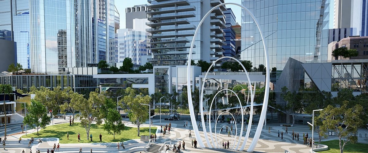
Spanda Sculpture - 3D Scan @media print { .ms-editor-squiggler { display:none !important; } } .ms-editor-squiggler { all: initial; display: block !important; height: 0px !important; width: 0px !important; } @media print { .ms-editor-squiggler { display:none !important; } } .ms-editor-squiggler { all: initial; display: block !important; height...
4742 Hits
0 Comments
4742 Hits
Hand-held mobile mapping using SLAM (Simultaneous Localisation And Mapping) based technology is a highly effective way to capture and map the world around you. Using SLAM technology makes it possible to simply walk through an environment and build a digital map as you go, saving time and money and can be over 10-times faster at acquiring data than ...
3785 Hits
3785 Hits
Multi-beam Echo Sounders A multi-beam echosounder (MBES) is a device typically used by hydrographic surveyors to determine the depth of water and the nature of the seabed. MBES systems emit acoustic waves in a fan shape beneath the transceiver and is often referred to as swathe bathymetry. The swathe from a MBES allows large areas of se...
3185 Hits
3185 Hits


